Wiki Reference
Storm Chasing Glossary
Clear, plain‑language definitions for the terms you’ll see in forecasts, radar, and storm structure discussions—built for learning and safety first.
How to use this glossary
Terms are grouped by how you’ll encounter them in real chasing: radar & warnings, storm structure, and wind & damage. If you’re unsure what a term implies for safety or positioning, jump to Safety for practical guidance.
Radar & warning terms
Core language used by the NWS, apps, and radar products—helpful for interpreting what’s happening right now.
Watch
Conditions are favorable for severe weather in/near the watch area. It’s a heads‑up to stay alert and review your plan.
Warning
Severe weather is occurring or imminent. Take protective action and avoid positioning near the warned hazard.
Hook Echo
A hook‑shaped radar reflectivity feature that can indicate a rotating updraft and potential tornado.
Velocity Couplets
Adjacent inbound/outbound winds on radar velocity suggesting rotation. Strength and context matter—don’t assume a tornado.
Debris Signature (TDS)
Radar indication of lofted debris, often tied to a damaging tornado. Treat as an extreme hazard.
Outflow Boundary
A boundary created by storm‑cooled air spreading out. Can focus new storms and enhance rotation where it intersects other boundaries.
Meso / Mesocyclone
A rotating updraft region within a supercell. Not all mesocyclones produce tornadoes.
RFD / Rear‑Flank Downdraft
Descending air wrapping around the mesocyclone. Can influence tornado potential and can be dangerously wind‑driven.
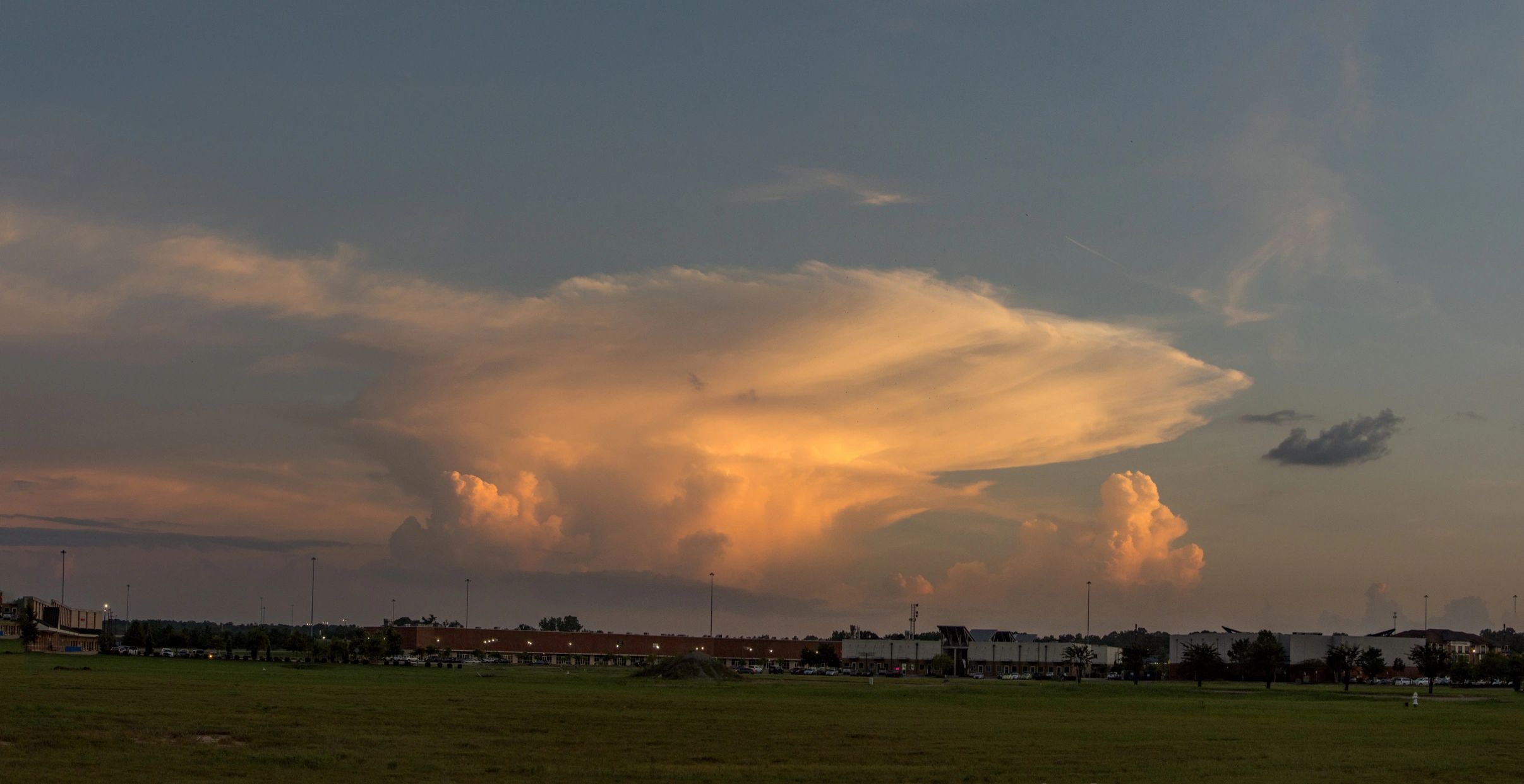
Storm structure
What you’re seeing in the sky
Wind, hail & damage terms
These terms describe hazards you may encounter on the road—use them to make conservative decisions.
Straight‑line winds
Damaging winds not associated with a tornado, often from downbursts or bowing segments. They can be as destructive as weak tornadoes.
Downburst / Microburst
A strong downdraft that spreads out at the surface. Microbursts are smaller in size but can be extremely intense and sudden.
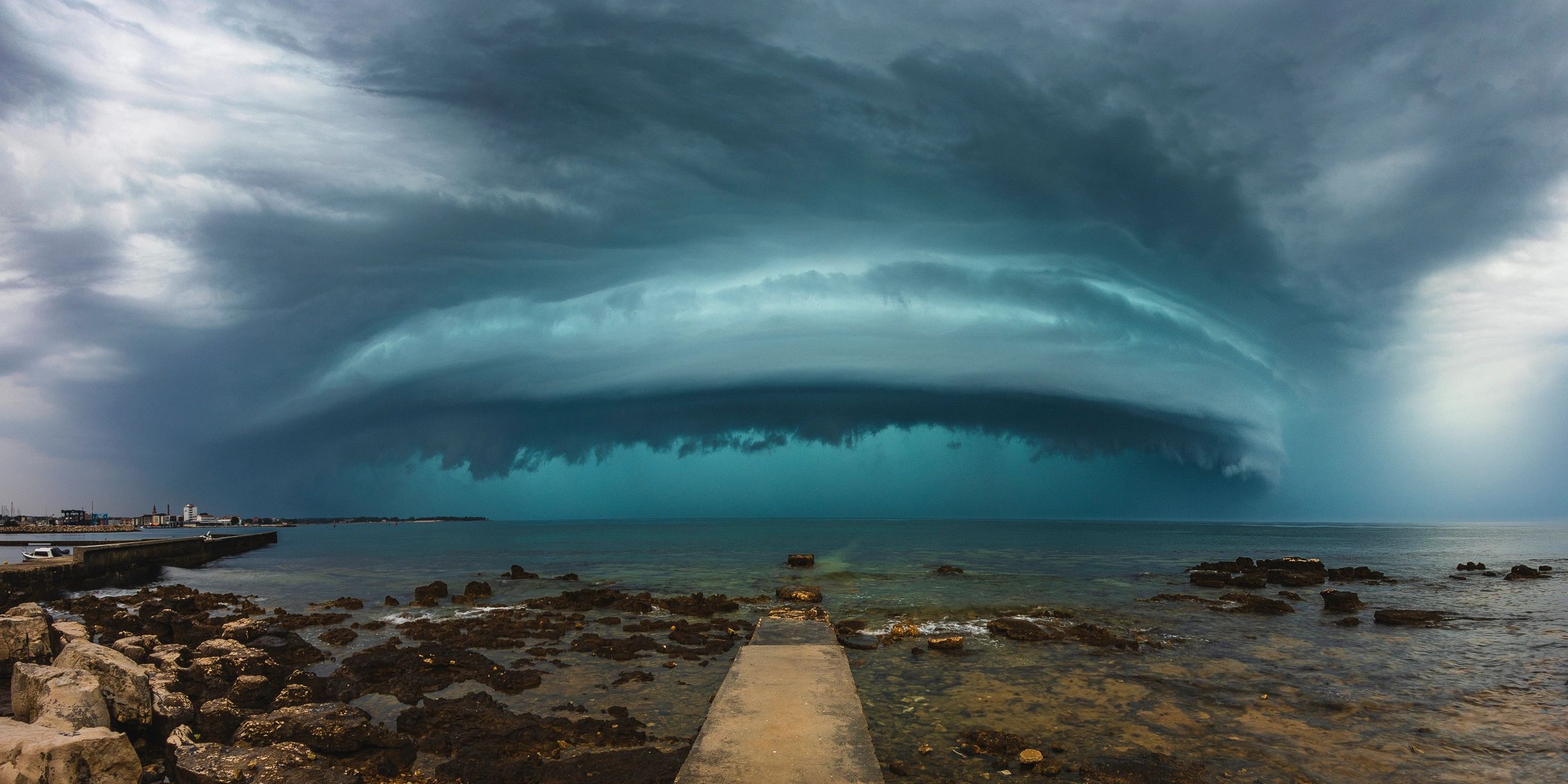
Gust Front
The leading edge of storm outflow. Expect rapid wind shifts, temperature drops, and reduced visibility in rain/dust.
Hail Core
The region of a storm producing the largest hail. Avoid driving into it—hail can shatter glass and disable vehicles.
HP Supercell
High‑precipitation supercell with rain‑wrapped features and poor visibility. These are especially risky for close approaches.
Rain‑wrapped tornado
A tornado obscured by precipitation. Visibility is low and escape routes can be limited—give extra distance and prioritize safety.